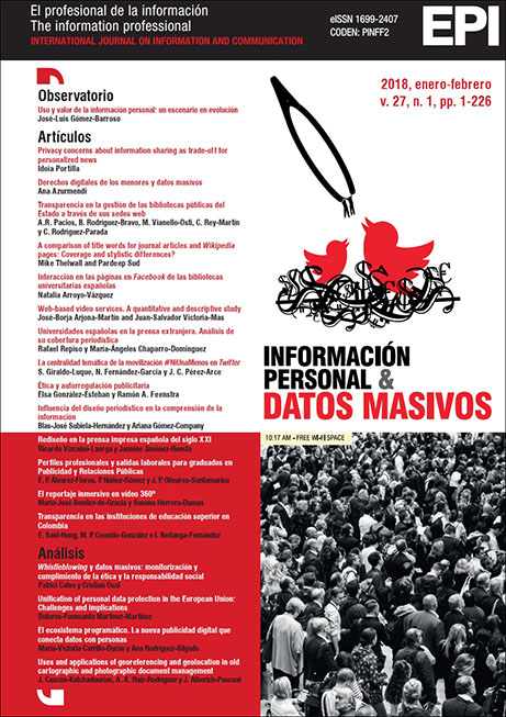
Uses and applications of georeferencing and geolocation in old cartographic and photographic document management
Keywords:
Georeferencing, Geolocation, Documentation, Old cartography, Old photography.Abstract
The contemporary application of georeferencing and geolocation technologies has enabled the review and revitalisation of the method of presenting, disseminating, and making accessible cartographic and photographic documentation stored in archives, libraries, map libraries, museums, geographic institutes, and other key institutions. This article evaluates the interest and scope of document management of both technologies, analyses its contemporary application in cartographic and photographic management, and offers a systematised review of a significant number of practical cases from public and private institutions that have recently implemented their documentary heritage with success.
Downloads
Downloads
Published
How to Cite
Issue
Section
License
Dissemination conditions of the articles once they are published
Authors can freely disseminate their articles on websites, social networks and repositories
However, the following conditions must be respected:
- Only the editorial version should be made public. Please do not publish preprints, postprints or proofs.
- Along with this copy, a specific mention of the publication in which the text has appeared must be included, also adding a clickable link to the URL: http://www.profesionaldelainformacion.com
- Only the final editorial version should be made public. Please do not publish preprints, postprints or proofs.
- Along with that copy, a specific mention of the publication in which the text has appeared must be included, also adding a clickable link to the URL: http://revista.profesionaldelainformacion.com
Profesional de la información journal offers the articles in open access with a Creative Commons BY license.


